
Oxford
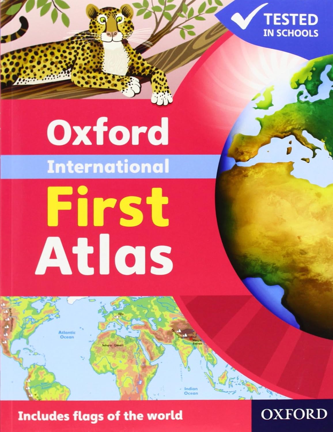
Oxford International First Atlas
Oxford International First Atlas
Couldn't load pickup availability
Oxford International First Atlas
Author/Publisher: Oxford University Press
Target Audience: Young learners, typically primary school students aged 5-7 years, educators, and parents seeking resources to introduce children to basic geography concepts.
Key Features:
- Comprehensive Content: This atlas provides an engaging introduction to geography with colorful maps, illustrations, and photographs that cover continents, countries, and key geographical features.
- Clear Explanations: The atlas offers simple, age-appropriate explanations of geographical concepts, making it easy for young learners to understand.
- Interactive Elements: Includes interactive features such as questions and activities that encourage children to explore maps and think critically about the information presented.
- Visual Learning: The atlas is rich in visuals, including diagrams and images that enhance comprehension and retain student interest.
- Curriculum-Aligned: Content is designed to support the geography curriculum for early primary education, ensuring that it meets educational standards.
Educational Value:
The Oxford International First Atlas helps young learners develop a foundational understanding of geography, encouraging curiosity about the world around them and fostering early map-reading skills.
Format and Quality:
Typically available in hardcover format, this atlas usually consists of around 64 pages, featuring full-color illustrations and a durable design suitable for young children.
Why Choose This Book:
Ideal for teachers and parents, this atlas serves as an engaging educational resource that introduces children to geography, enhances visual literacy, and encourages exploration of the world.
Available at: Books for the Future with delivery to all cities in Iraq and the Kurdistan region.
Share
